


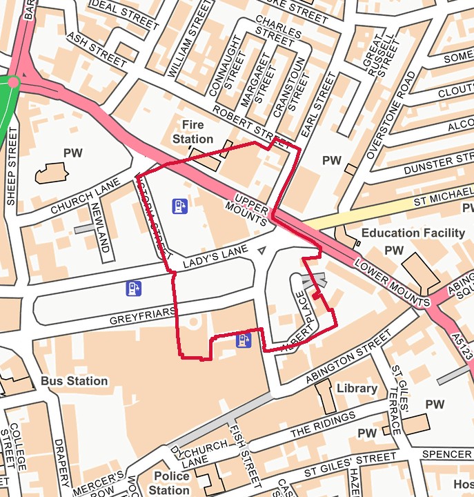


Northampton Old Street Map – NN1 – 1899
Ref:
12 Northampton April 1899 Sheet 12
Vintage old street map of Northampton (NN1). Originally published in 1899. A high quality reproduction taken directly from the original Fire Insurance Plans of Charles E. Goad.
click on the smaller image to enable and engage with the zoom.
£39.95
CLICK FOR MORE INFORMATION
Description
Sheet References: 12
Additional information
| Dimensions | 63.5 × 53.5 × 0.3 cm |
|---|---|
| Country | England |
| Town/City | Northampton |
| Postcodes | NN1 |
| Sheet/s | 12 |
| Print Quality | High Quality Uncoated Paper- 190gsm offset. A true multi layered photo grade paper offering the widest colour gamut and very high ink loads. The satin matte finish gives an outstanding photographic reproduction. |
| Dimensions | 536 × 636 × 3 mm |
Dimensions
536 × 636 × 3 mm
Street Names
Albert Place, Earl Street, Greyfriars, Ladys Lane, Lower Mounts, Overstone Road, Saint Michaels Road, Upper Mounts, Wellington Street
Please note: Street names are extracted from map data within an approximate radius of the plan’s central coordinates. They may not be completely accurate, so please check the plan itself and, where available, the coverage guide for confirmation.
Related products


England
Northampton Old Street Map – NN1 – 1946
3 Northampton Resurveyed & Reissued May 1946 Sheet 3
£39.95


England
Northampton Old Street Map – NN1 – 1946
4 Northampton Resurveyed & Reissued May 1946 Sheet 4
£39.95


£79.90
Sample Map

