


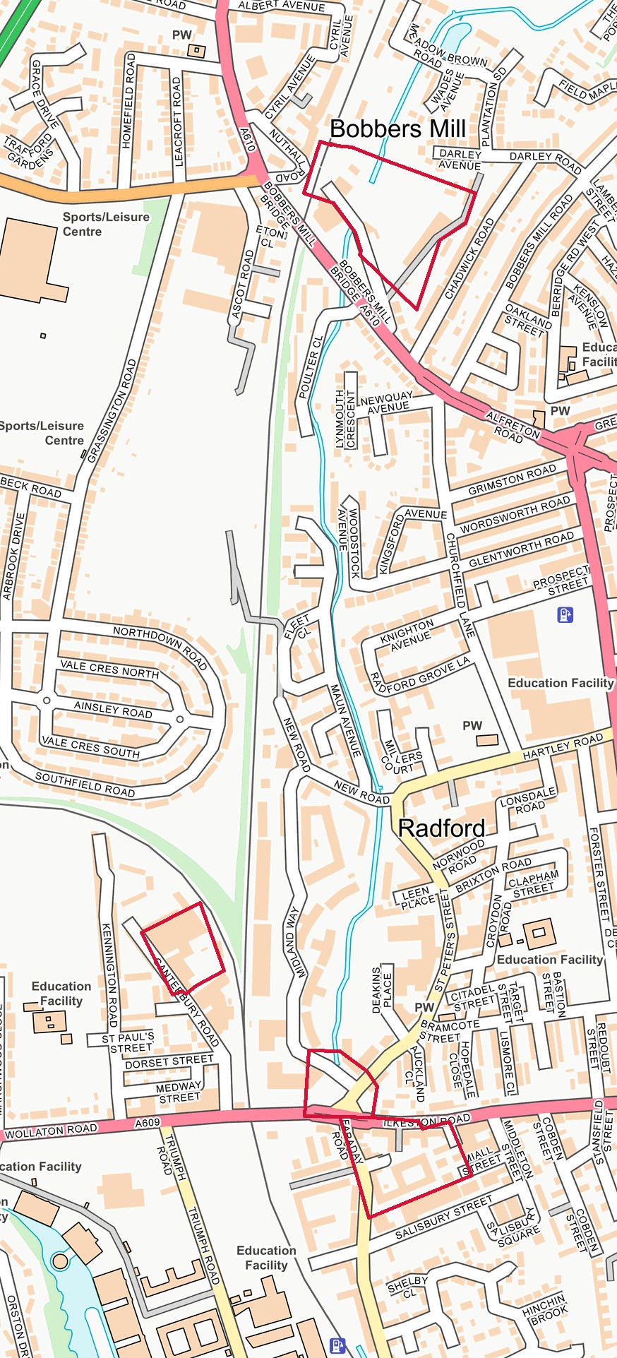


Nottingham Old Street Map – NG7, NG8 – 1928
Vintage old street map of Nottingham (NG7, NG8). Originally published in 1928. A high quality reproduction taken directly from the original Fire Insurance Plans of Charles E. Goad.
click on the smaller image to enable and engage with the zoom.
£39.95
Description
Sheet References: 37A
Additional information
| Dimensions | 63.5 × 53.5 × 0.3 cm |
|---|---|
| Country | England |
| Town/City | Nottingham |
| Postcodes | NG7, NG8 |
| Sheet/s | 37A |
| Print Quality | High Quality Uncoated Paper- 190gsm offset. A true multi layered photo grade paper offering the widest colour gamut and very high ink loads. The satin matte finish gives an outstanding photographic reproduction. |
| Dimensions | 536 × 636 × 3 mm |
Dimensions
536 × 636 × 3 mm
Street Names
Related products


England
Nottingham Old Street Map – NG7 – 1959


England
Nottingham Old Street Map – NG7 – 1946


England
Nottingham Old Street Map – NG7 – 1943


England
Nottingham Old Street Map – NG2, NG7 – 1952


England
Nottingham Old Street Map – NG1, NG7 – 1946


England
Nottingham Old Street Map – NG1, NG2, NG7 – 1931


England
Nottingham Old Street Map – NG1, NG2, NG7 – 1925
Sample Map

